Post by Dave on Sept 13, 2010 18:21:34 GMT
Budleigh Salterton By The Sea
Today Carol and I spend five hours at Budleigh Salteron, that’s what it is known as these days but originally the town was named Salterne, as salt was once a thriving industry operated by the monks at the nearby priory in Otterton.
Before I go into a detailed report on our day in Budleigh Salterton, I will get my two moans out of the way first before I bring you all the best bits. First moan is to East Devon District Council, a pound for the first one hours parking in the beach car park is just fine, but a pound for every single hour after that? Have you not heard of sliding price charges so the longer you park the cheaper it gets? Anyway I fed the meter with £5 and just thought for a place that is not really a tourist trap as such it should not be charging so much for parking.
Second moan is why does Budiegh not have a decent café? It sure could do with one and I’m sure it would be very popular and do a roaring trade.
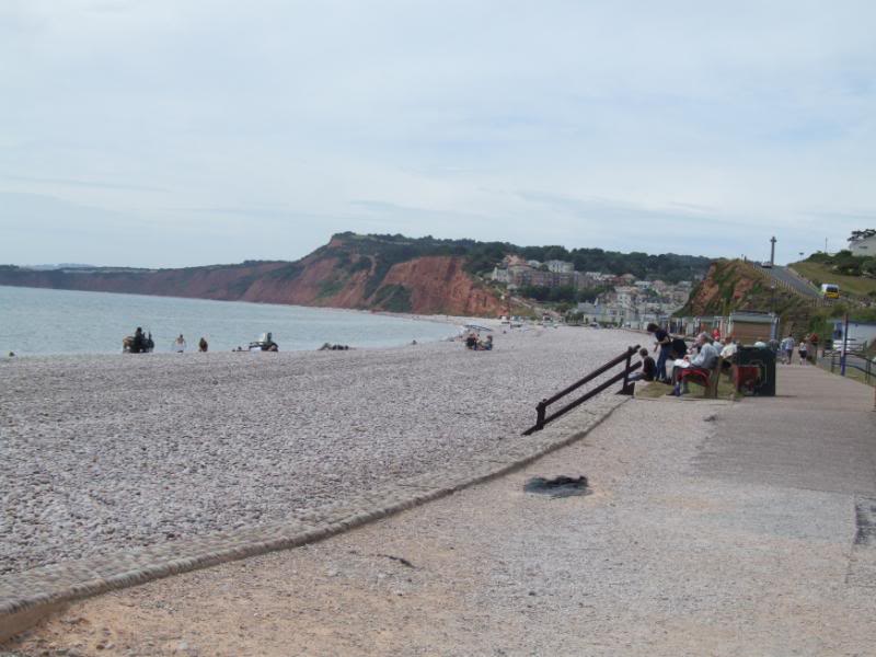
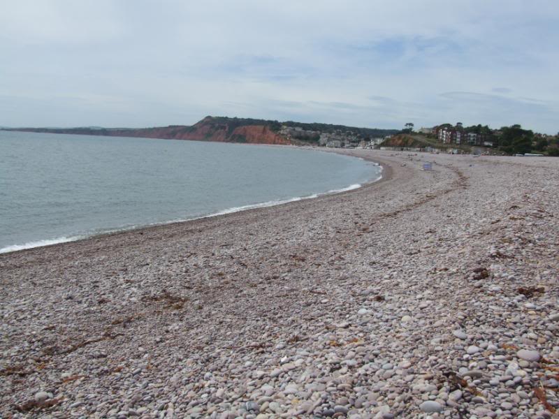
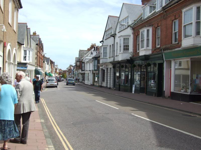
Right I feel so much better now and ready to continue, it’s been along time since I last drove down the main street of Budliegh Salerton and on the road that passes the beach as it climbs up to the top of a cliff before swinging around the left leaving any views of the beach behind. So I was rather surprised just how big the beach really is and it extends in total for 2.5 miles, from Littleham Cove to the west, to Otterhead in the east, where the River Otter meets the sea
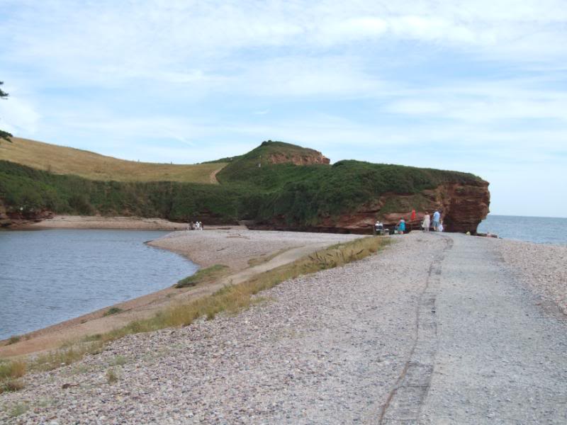
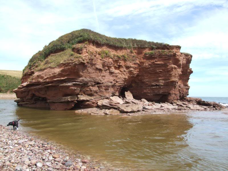
We would have walked the whole length of the beach but did not in the end for a very good reason I will come back to that later. After parking the car in the beach car park we set off turning left and heading for the Otterhead end of the beach, this is where the beach really ends as the River otter flows into the sea, there is a great red cliff at this end of the beach and when we returned back to this point nearly five hours later, the tide had gone out and as the river level was low, some people had crossed over to the other side.
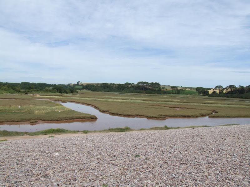
As you walk on the very high bank of the pebbles that form the beach you can see on your left the salt flats. Large salt pans were situated at the lower section of the river Otter, the pebble spit, now blocking what was once an open estuary, was a result of the great storm of 1824. The long pebbly beach now forms a natural promenade. You will see in the very first picture the waterways are all full of water and when we returned later it was all just mud and I asked Carol if I should try and walk across it, but after our time on the river Teign, I thought better of it due to the look she gave me.
When you are at the end of the beach you really notice how the beach curves around in a very large crescent shape and from the sea level you notice just how banked up the beach is and one shot I took much later on full zoom, exaggerates it rather a lot as it was taken from the sea level and show Carol sitting on a bench on the pebble spit.
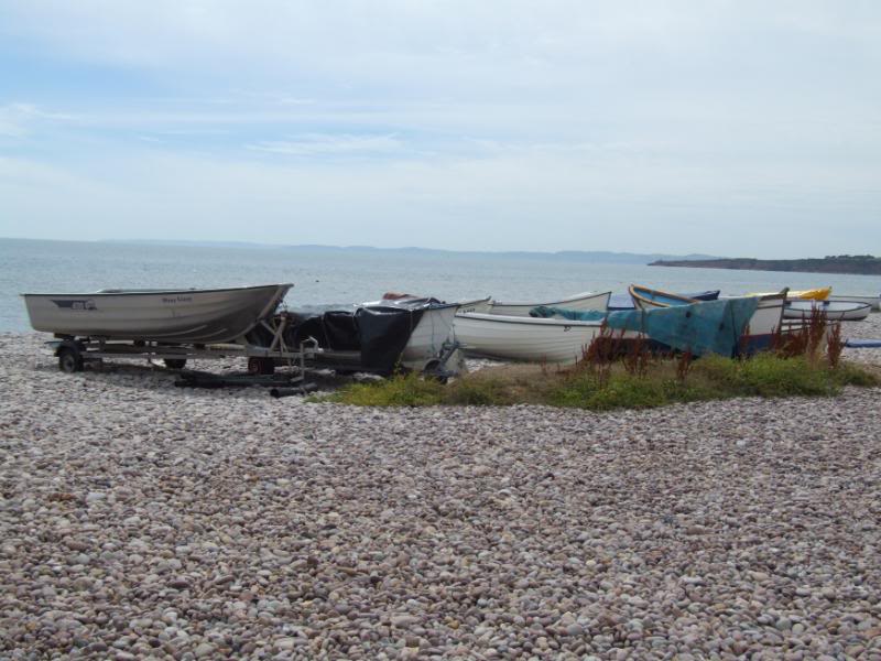
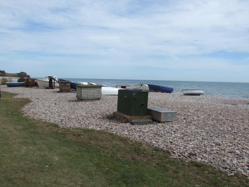
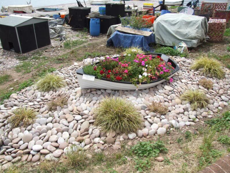
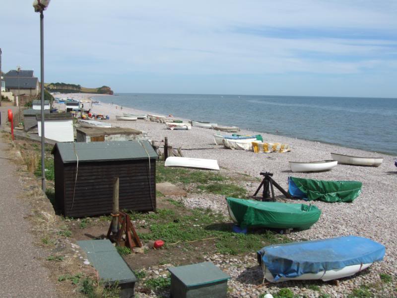
Time to turn around and start walking the rest of the beach and we soon learned the beach really is four beaches in one and changes as you walk along it. The Otterhead end is best described as a tourist beach but when you get to the part of the beach at the bottom of the town, its full of very small boats that I imagine are used by locals to put lobster pots etc.
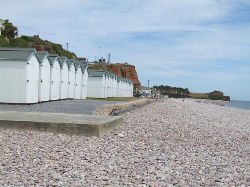
I also noticed the first of many wooden boxes and at first was unsure what they were, it soon became clear and they all contain winching gear to pull the boats out of the water and up the pebble beach.
The next part of the beach goes back to being more of a tourist beach again and then the last part changes into something completely different again but more of that later. The famous Budleigh Salterton Pebble Beds are composed of hard quartzite identical to 440 million year old rocks found in Brittany. The pebbles were formed and transported in one of the giant rivers that flowed into the Triassic dessert about 240 million years ago.
Over the last few thousand years the pebbles have been falling from the cliffs and today form the built of the beach at Budleigh Salterton. The larger cobbles and pebbles are very hard and unlike any other rock type found in Southern England. As a result they survive as they are transported along the coast by the waves. They can be found from Slapton Sands in Devon to Hastings in Kent.
Bloody amazing really they know the pebbles were transported there 240 million years ago and our useless history man could not even get right the year our club was founded or even when the South Devon League was.
We decided before we walked any further along the beach to go and get something to eat and could not find a decent café, a few tea rooms and an Indian takeaway and so we ended up getting two pasties and two cakes that we took back to the beach to eat.
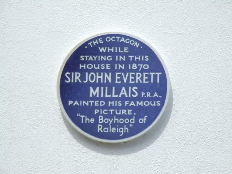
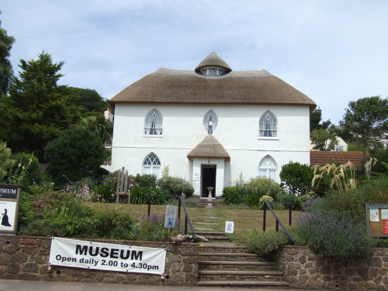
At the bottom of the town you will learn that Budleigh Salterton was made famous by a painting by Sir John Everett Millais called ‘The Boyhood of Raleigh’ which was painted from the Octagon, in Fore Street, an ancient wall that is featured in the painting’s background. Today this ancient wall bears a blue plaque to commemorate the place captured by the artist
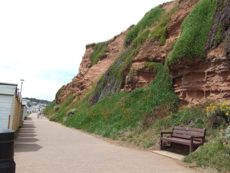
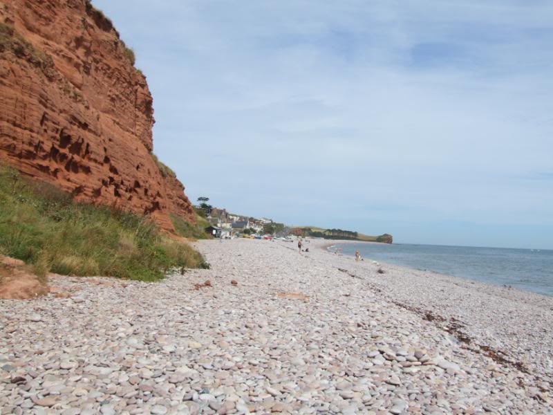
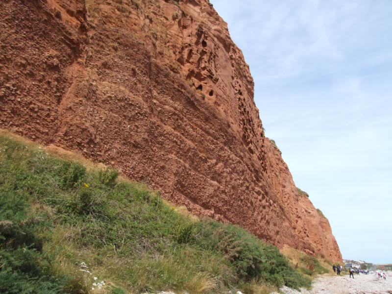
All fuelled up again it was time to walk along the second half of the beach and the part that has magnificent red cliffs that are formed of Red Devonian Sandstone. In places you can see all the pebbles packed and cemented in place, but you only need to touch any part of the cliff face to learn it feels very wet and breaks away with the slightest of touches. You should never remove any pebbles from the cliff face and a bylaw was once passed to try and stop people taking pebbles home with them from the beach itself, but there are no signs up informing you it’s against the law to do so.
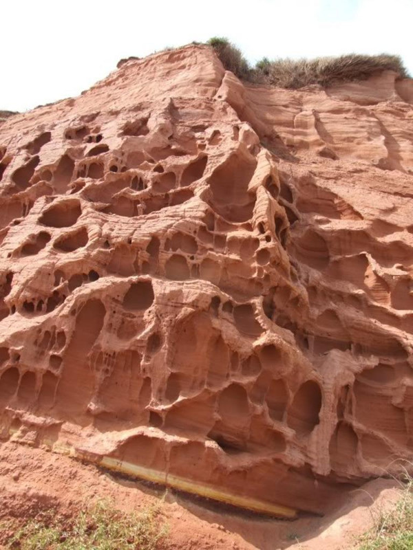
I would expect most of the erosion the cliffs have suffered have been caused more by the weather than the sea itself as even the worst high tides could not reach to top of the cliffs, still it has made some very interesting shapes and patterns on the cliff face.
We walked under the cliffs for quite a long way and while we noticed the sign we took no real notice of it as we have seen such signs before and never encountered anyone walking around with no clothes on.
Carol pulled up to a Holt and said, there are people with nothing on and then said “isn’t that your mate Leigh standing there” “don’t look Carol” I shouted out but it was too late she had already got an eyeful of a very shrivelled up thingy swinging in the afternoon sun.
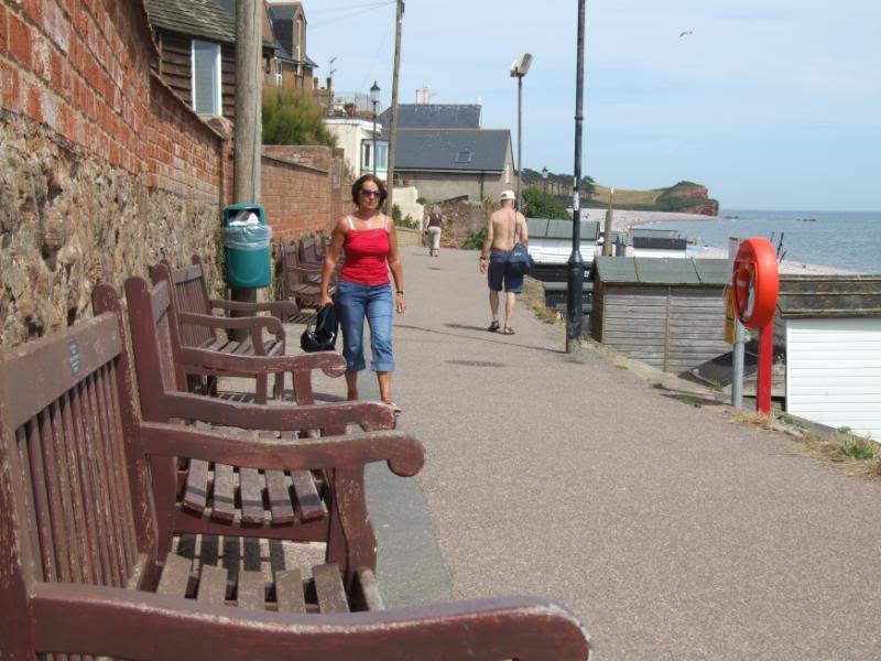
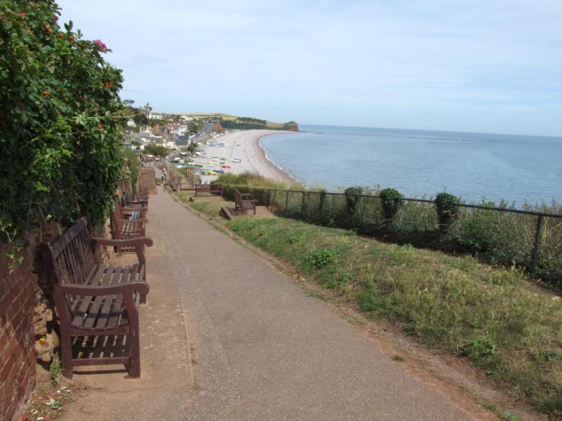
Time to turn around and head back toward the centre of the beach and head up and take a look at the coast path to Exmouth. On the path that goes up the side of the cliff I found myself thinking about Barton Downs and just how much he would have loved all the memorial benches that are there.
The path turned out rather boring as on both sides its all trees and bushes and you can’t even see the sea, you do come to a field called The Jubilee Field and we walked through that and was back on the narrow path again with no views. I kept saying to Carol we will just go a bit further, hoping to come to something of interest and in the end we came to a place where water was coming out off some sort of inlet and running down to the sea and I decided enough was enough as far as the coast path was concerned.
So we headed back to the beach again and walked all the way back to the Otterhead end and as the tide was now much lower I took a few more pictures. We then walked on the other side of the pebble spit right beside the salt flats and we really noticed just how high the pebble spit is. We soon found we were back at the car park and at least I got my moneys worth, so off we drove heading for home, another great and wonderful time and we are living proof that you really do not need to spend a fortune to have a really great time.
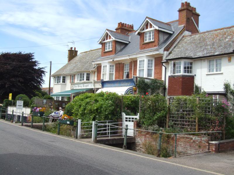
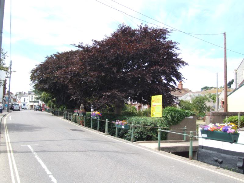
A selection of the hundred or so pictures I took today and they are in the order of the story in my post.

